











Collecting, assimilating, and safely deciding what to do about weather is one of the hardest things we pilots do. But it seems like every computer platform to do this has a drawback.
Weather terminals at FBOs are handy but require lots of clicks. I might drill down through many pages for METARs-a U.S. map, region map, and a state map-then
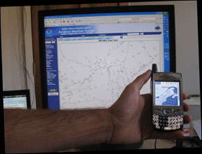
scroll a long alphabetical list of stations. I go to more screens for TAFs, winds and temps, PIREPS, forecasts and satellite images. Then I try to picture the data on my route. For airport info, I pull out a book.
Flight planning software puts all the weather around one route. But it requires a computer, software and, often, arduous setup and learning. Fine for home or office, but not ideal on the road.
There are Web-based products to overlay METARs, TAFs, PIREPs and winds graphically on a route map. But evolution of cell phones into hand-held computers means there’s an even more convenient option.
Here are the four leaders in cell phone weather. Note that your phone determines your choices or, perhaps, vice-versa.